-
2024 Print Edition (includes free PDF)
![]()

- Regular price
- $64.95
- Sale price
- $64.95
- Regular price
-
$84.90 - Unit price
- per
Sold out -
2024 Edition PDF Digital Download
![]()

- Regular price
- $29.95
- Sale price
- $29.95
- Regular price
-
$29.95 - Unit price
- per
Sold out


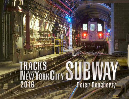
What Is Tracks Of The NYC Subway?
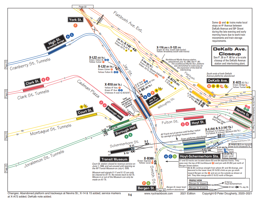
Tracks of the New York City Subway, as its name implies, is a 194 page book containing depictions of every main line and yard track (including track numbers) in the entire New York City subway system--all 750+ miles of track and 472 stations of it! A 46-page introduction gives the reader a brief history of the system, a primer on subway signaling (including a colour insert of the most commonly-encountered signs and signals), details on chainage distances, towers, power generation/distribution and a even detailed list of abandoned stations.
Previous Editions
-
2023 Print Edition (includes free PDF)
![]()
- Regular price
- $54.95
- Sale price
- $54.95
- Regular price
-
- Unit price
- per
Sold out -
2019 Print Edition
![]()
- Regular price
- $29.95
- Sale price
- $29.95
- Regular price
-
$39.95 - Unit price
- per
Sold out -
2018 Print Edition
![]()
- Regular price
- $29.95
- Sale price
- $29.95
- Regular price
-
$39.95 - Unit price
- per
Sold out -
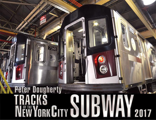
2017 Print Edition
![]()
- Regular price
- $29.95
- Sale price
- $29.95
- Regular price
-
$39.95 - Unit price
- per
Sold out


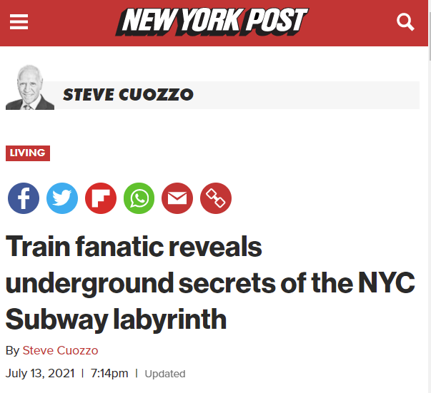
As featured in the NY Post
I'm honored to have been featured in this amazing story in the
New York Post back in July, 2021.